Discover, study, and record your geologic environment. Rockd enables you to explore and learn about the geologic record, submit your own observations, and chart your trip through the geologic record, whether you are a professional geoscientist or simply inquisitive about the rocks around you and the stories they tell.
Main Features:
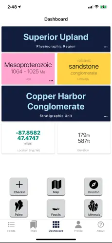
- Using a Dashboard, you have immediate access to a summary of your present location’s geology and geography.
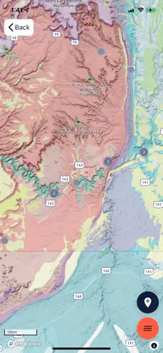
- Over 290 geology maps are available interactively on a worldwide scale, and new ones are updated every week.
- With the aid of a dynamic, 3D virtual globe, explore the landscape.
- With an integrated map caching mechanism, save maps for usage in the field.
- Discover C.R.’s paleogeographic maps and view your historical location. GPlates and Scots
- Utilize xDD (formerly, GeoDeepDive) to search published literature for references to mapped geologic units (when available)
- Using digital elevation models, most points on Earth have elevation data (DEMs)
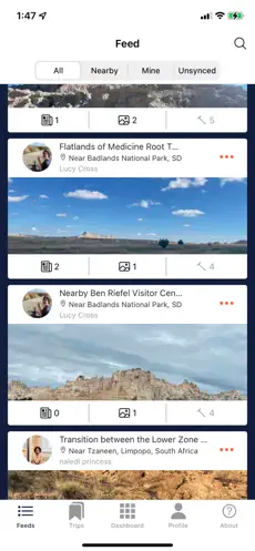
- Add your own field observations, even when offline; identify characteristics in Macrostrat and the Paleobiology Database.
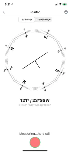
- When recording geologic features, use the compass on your phone to note any strikes, dips, trends, or plunges.
- Track your advancement through the geologic record and share it with others or keep it private.
- Utilizing specific URLs, you can broadcast your own and other users’ public check-ins while also seeing other users’ public activity.
Rockd is created by the Macrostrat lab at the University of Wisconsin – Madison’s Department of Geoscience. Support granted by the Department of Geoscience and the National Science Foundation (NSF).
Having difficulties? Send us an email at [email protected], and we’ll try our best to assist you in finding a solution.
