
This app was made for people in the Army, Marines, and other branches of the military. You can fix your Land Nav skills by looking at your pace count and how often you go left or right.
Available Input
- 8-digit MGRS
- 10 digit MGRS
- Lat/Lon decimal
- Lat/Lon dm
- Map input
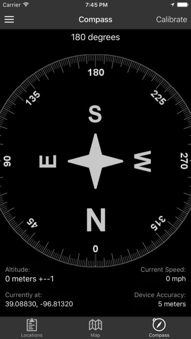
Angles: Degrees or mils
Distance: meters/KM or feet/miles
Speed: kph or mph
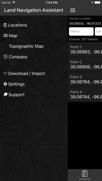
Features
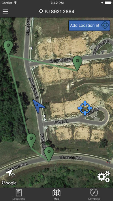
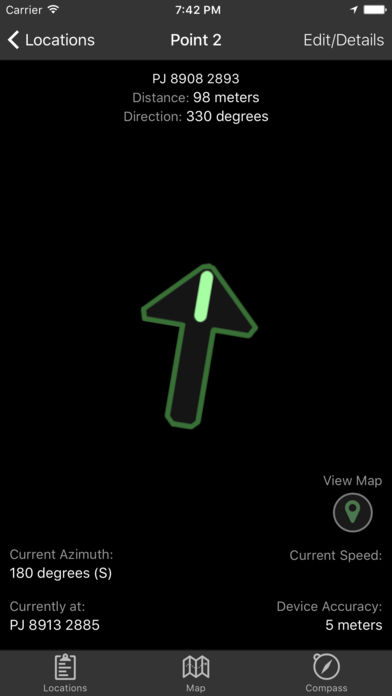
- Use the simple arrows or the map to get to where you want to go. As you navigate, you can see your distance, direction, speed, and bearing.
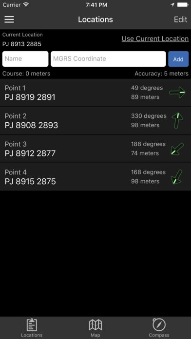
- Tap and hold on to any spot on the map to get the coordinates for that spot. Adding locations is easy through the Map interface.
- Plan your course by putting the points in order, or use the course optimization tool to find the shortest route.
- Tap the path between two points to find out how far away they are and which way to go.
- Satellite, Terrain, Road, and simple Topographic maps show you where you are and let you add new locations.
- Shows the distance and direction from where you are to all points or between any two points.
Conclusion
The Land Nav Assistant app is a great tool for those who want to learn how to navigate using a map and compass. It’s easy to use and can be a great resource for learning the basics of land navigation. Whether you’re an experienced hiker or someone who’s just getting started, the Land Nav Assistant can help you find your way. So download it today and start exploring the great outdoors!
Related Apps

Citymapper Transit Navigation
Free Navigation Apps
FREE

Tollsmart Toll Calculator
Navigation
FREE

Map My Hike by Under Armour
Free Navigation Apps
FREE

Transit Stop: CTA Tracker.
Free Navigation Apps
FREE

Waze Navigation & Live Traffic
Free Navigation Apps
FREE

HondaLink Navigation NA
Navigation
59.99$